3D Laser Scanning and Point Cloud Processing
3D laser scanning is the fastest and most accurate method for the digital capture of physical reality—whether it’s a building, an industrial hall, a civil structure, or a complete environment. Using this technology, we transform the visible world into a millimeter-accurate, photorealistic 3D point cloud, which provides a reliable foundation for design, construction, analysis, and documentation.
Compared to traditional methods, laser scanning is exceptionally fast and comprehensive, capturing every visible detail in a single survey and eliminating the need for repeated site visits.
What is a point cloud, and why is it valuable to you?
The operation of a laser scanner is based on LiDAR (Light Detection and Ranging) technology. The instrument emits up to several million laser pulses per second and calculates the precise three-dimensional coordinate of each point from the time it takes for the reflection to return.
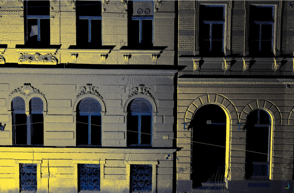
The result is the point cloud: a spatial digital dataset consisting of millions (or even billions) of points, which is a true-to-life replica of the surveyed object or area.
Its main advantage is that “we bring the site to your office.” There is no need to go back to the site for a forgotten measurement. From the point cloud, you can take measurements, perform calculations, or even conduct a virtual tour at any time, all from the comfort of your office.
Our laser scanning workflow
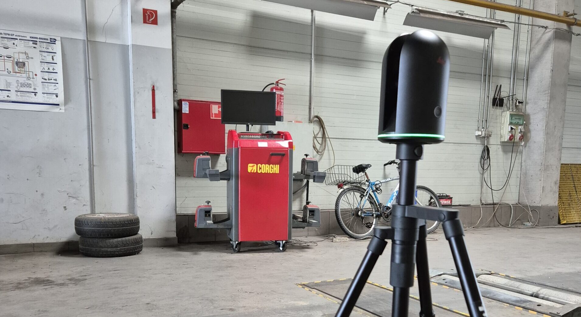
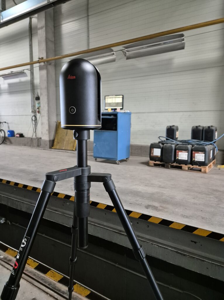
- On-Site data acquisition: We select the appropriate technology based on the nature of the task, whether it’s a static laser scanner for maximum accuracy or a mobile scanner for the rapid survey of large areas. During the measurement, high-resolution panoramic imagery is also captured alongside the point cloud for a photorealistic appearance.
- Point cloud processing: The raw data is processed in the office. This includes merging the different scan positions (a process called registration), removing unnecessary data (noise), and placing the entire point cloud into a geodetic coordinate system (e.g., a local site grid or a national coordinate system).
- Creation of 2D and 3D deliverables: Based on the client’s requirements, we create a wide range of ready-to-use final products from the processed point cloud:
- Detailed 2D plans: Floor plans, sections, elevations, and level plans.
- Precision 3D models: Intelligent BIM models, mesh models, and surface models.
- Calculations and analytics: Volume and surface area calculations, and deformation analyses.
Key application areas
- 🏛️ Architecture and construction: Creating as-built plans, building diagnostics, façade surveys, construction verification, and creating base maps for design (Scan-to-BIM).
- 🏭 Industrial surveys and MEP: Accurate documentation of production lines, piping, and steel structures; clash detection; deformation analysis; and inspection of crane rails and machine foundations.
- 🏺 Heritage preservation and archaeology: Detailed as-built recording, archiving, and reconstruction of historic buildings, ornamental façades, ruins, and visible archaeological sites.
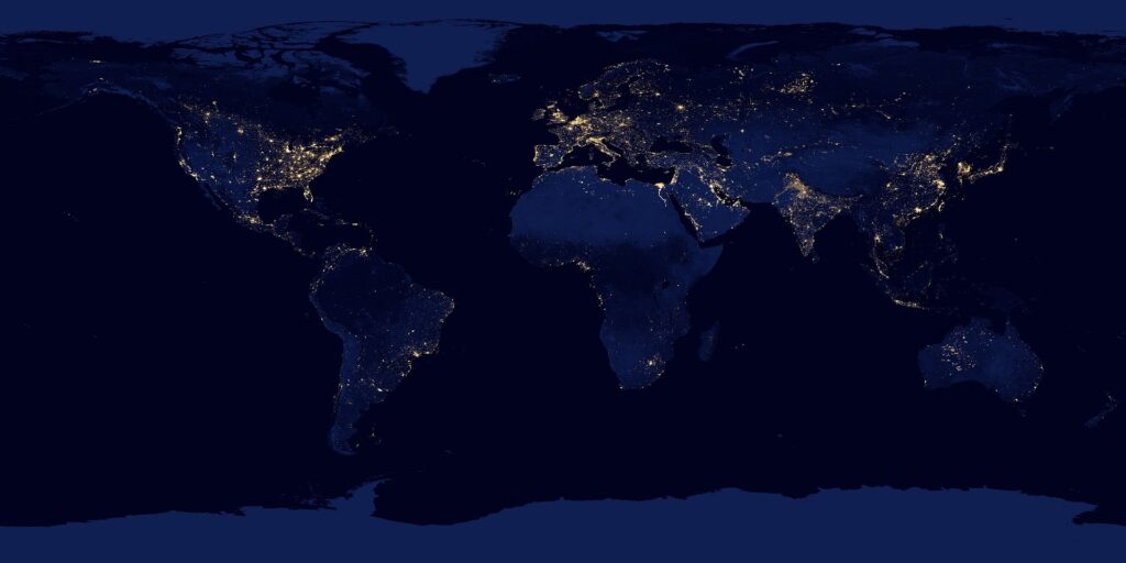
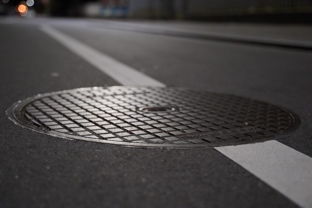
- 🗺️ Geodesy and infrastructure: Terrain modeling, mining surveys (volume calculation), as-built surveys of road and bridge structures, and capturing the surface elements of utilities.
Transform physical reality into precise, actionable digital data! Contact us to discuss how 3D laser scanning can support the success of your project.