Comprehensive Surveying and Digital Mapping of Industrial Parks and Sites
When operating an industrial park, a complex facility, or an older factory site, the greatest challenge and business risk comes from a lack of accurate, up-to-date information. Are you familiar with the situation where the plans don’t reflect reality, and unknown utilities lie hidden underground?
Our company offers a comprehensive solution for the complete, non-destructive surveying of industrial facilities and the creation of a reliable digital database (Digital Twin) that is usable for all stakeholders.
The Challenge: A Lack of Reliable Data
Many industrial areas were built decades ago and have since undergone numerous changes in ownership and modifications. Experience shows that:
- Existing plans are outdated: They often show an “as-planned” state, not the actual “as-built” conditions.
- Changes were never documented: Expansions, repairs, and alterations carried out over the decades are not reflected on the drawings.
- Digital files are unreliable: The available CAD files are often chaotic, containing duplicate elements and inaccurate data.
This uncertainty carries serious risks: unexpected utility strikes (e.g., cutting a water or gas line) and damage to live electrical cables, which can lead to project shutdowns, spiraling costs, and serious accidents.
The Solution: A Comprehensive Survey and a Unified Digital Database
Instead of navigating in the dark, we provide a clear picture of your site’s entire infrastructure, both above and below ground, through a comprehensive survey.
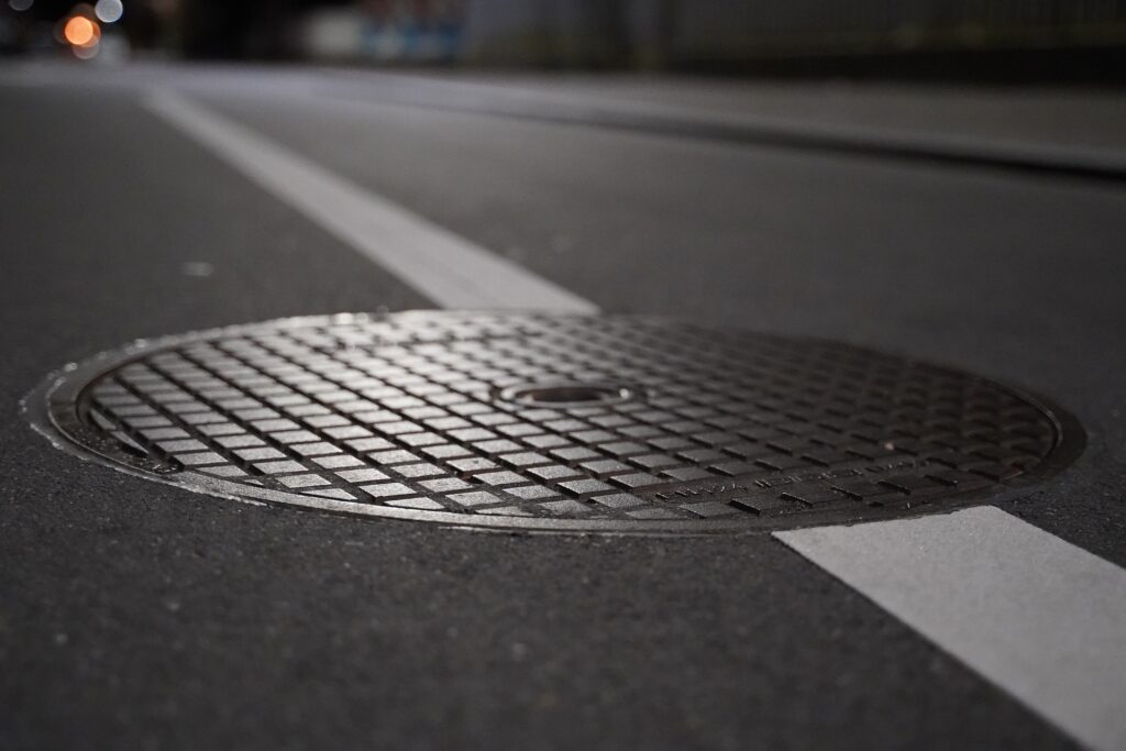
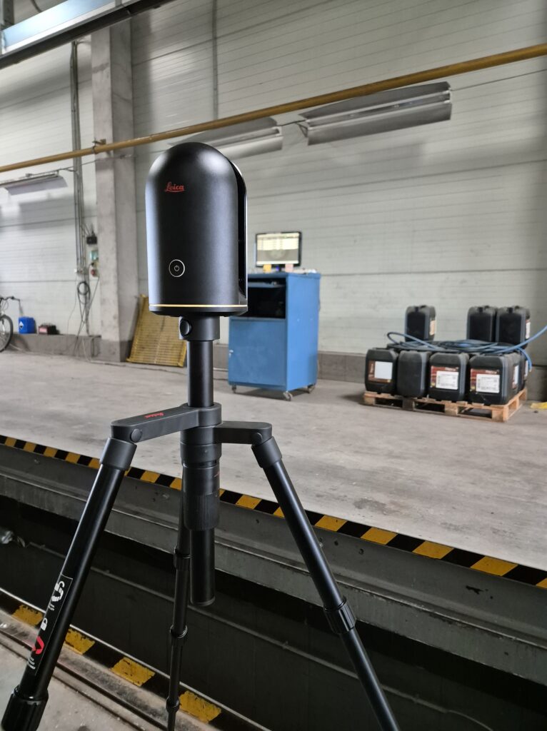
- On-Site As-Built Survey: Using modern laser scanning technology and geodetic measurements, we capture the precise 3D position of all visible objects (buildings, roads, fences, manholes, structures).
- Non-Destructive Utility Locating: With Ground Penetrating Radar (GPR) and electromagnetic locators, we map the hidden, subsurface infrastructure—including metallic and non-metallic pipes, cables, foundations, and other buried objects.
- Creation of a Digital Twin: We unify all the collected data into a single, structured 2D/3D database. This model becomes your site’s digital replica, containing all information accurately and up-to-date.
The Benefits of the Survey for You
A precise digital map is not an expense, but a valuable investment in the future.
- Risk Reduction: With accurate knowledge of utilities, accidents and environmental damage can be prevented.
- Cost Savings: There are no more unexpected surprises, expensive rework, or losses from downtime.
- Predictability in Planning: Any future development, expansion, or modification can be built on a reliable, accurate foundation.
- Efficient Operations: The digital model greatly supports modern facility management processes and maintenance planning.
Don’t wait for damage caused by an excavator to shut down your investment! Prevent the problem with a comprehensive site survey.
Contact us, and during an informal consultation, we will outline how we can bring order to the digital jungle of your industrial park or site.