GPR (Ground Penetrating Radar) is a modern, non-destructive method that allows us to “see inside” the ground, asphalt, or concrete without the need for demolition or excavation. The technology uses high-frequency radio waves to map subsurface anomalies, layers, and objects.
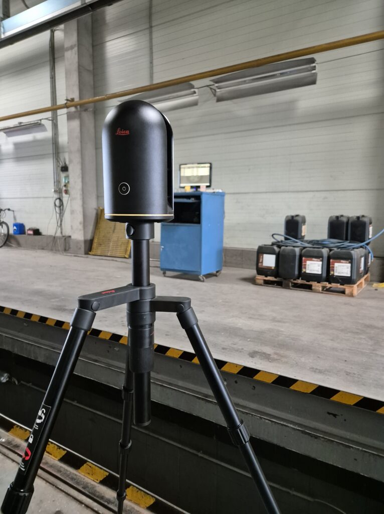
With our expert team and state-of-the-art instrument fleet featuring a range of frequencies, we provide precise, fast, and cost-effective solutions in the following areas.
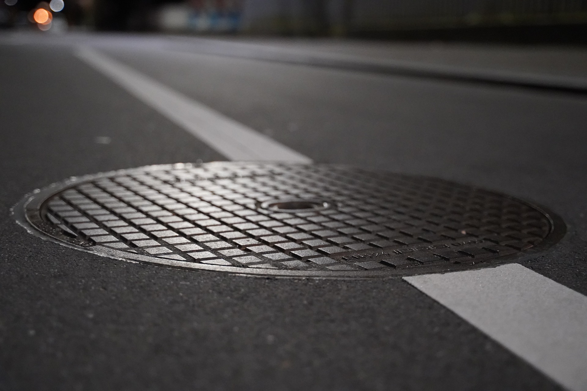
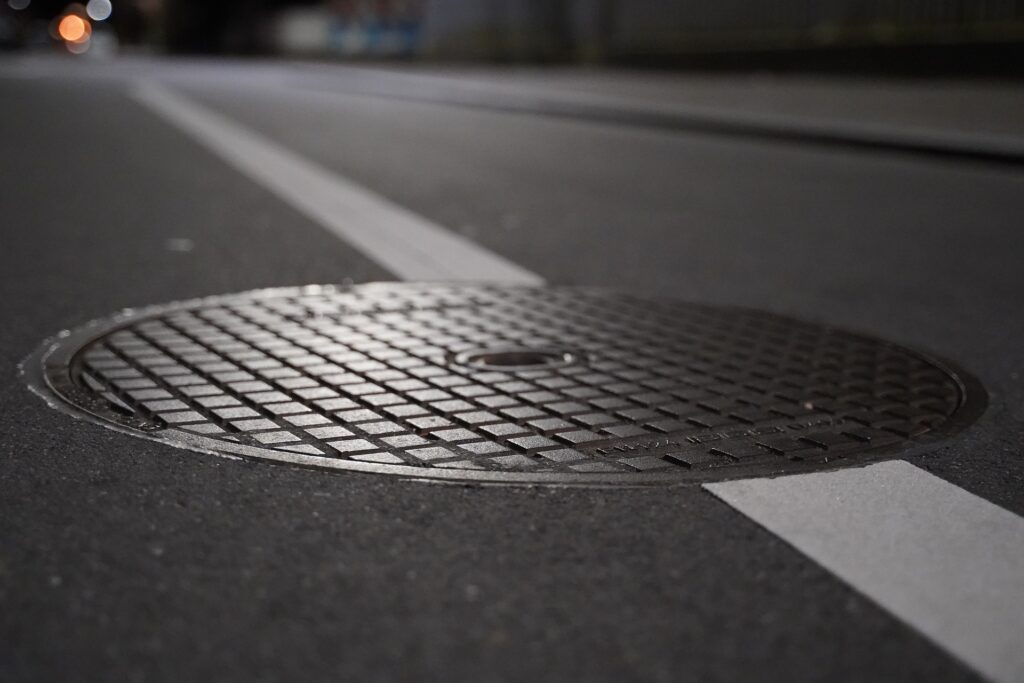
1. Utility Locating and Route Tracing
Knowing the location of hidden utilities is critical before any earthworks begin. A GPR survey is the most effective tool for damage prevention.
The Problem: An excavator strikes an unknown water pipe, gas line, or electrical cable, causing a life-threatening situation, costly damages, and significant project delays.
Our Solution: By using GPR in conjunction with electromagnetic (EM) locators, we can map both metallic and non-metallic utilities (e.g., plastic and asbestos cement pipes, fiber optic cables). We precisely determine their route and depth, making construction work safe and predictable.
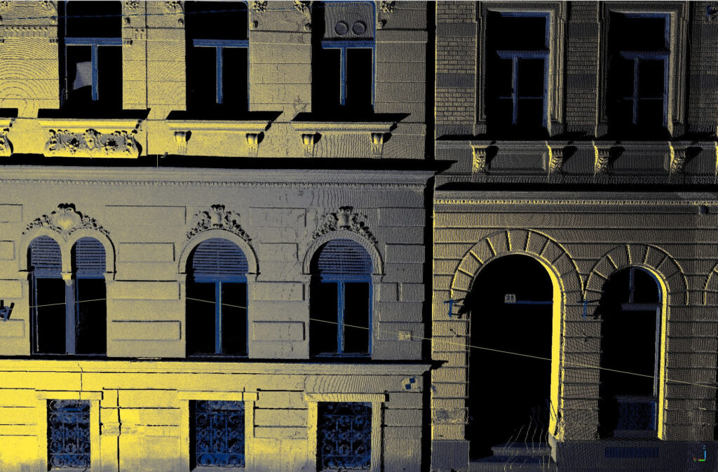
2. Non-Destructive Investigation of Concrete and Bridge Structures
Understanding the condition of our built structures, bridges, and civil works is essential for safe operation and renovation planning.
Objective: To find out what lies within a concrete structure without drilling, coring, or breaking it open.
Results: Using high-frequency “concrete scanning” GPR, we can detect features up to a depth of 80 cm, including:
The position, spacing, and cover depth of reinforcing steel (rebar).
The path of post-tension cables, embedded conduits, and electrical wires.
Structural layer composition, delamination, internal cracks, and voids.
Deterioration and corrosion-related damage in bridge decks and other structures.
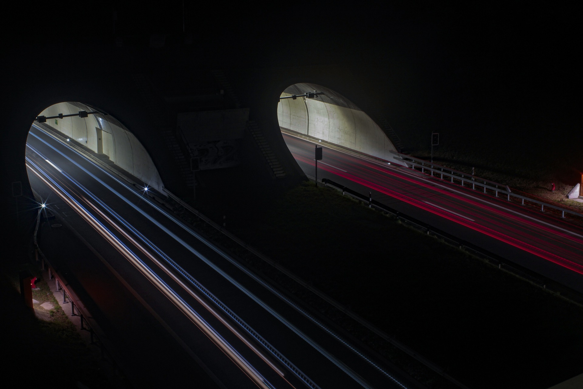
3. Road and Pavement Assessment
The condition of a nation’s road network presents a constant challenge. GPR surveys provide a rapid and comprehensive overview of pavement quality.
The Problem: Unknown layer thicknesses, hidden voids, or moisture intrusion that lead to premature pavement failure (potholes, cracking).
Our Solution: With our vehicle-mounted, multi-channel systems, we can survey large areas in a short amount of time. We provide precise data on the thickness of asphalt and base layers and identify defects, allowing for targeted and cost-effective rehabilitation.
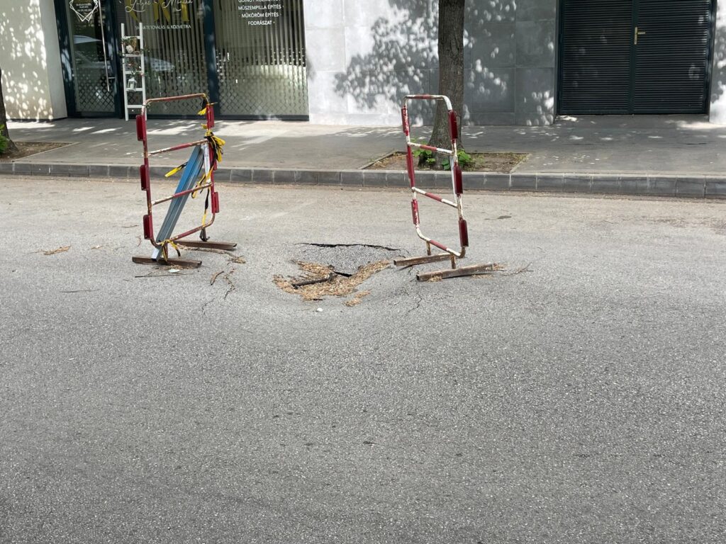
4. Void Detection and Geotechnical Hazard Mapping
Subsurface voids pose a serious geotechnical risk to roads, buildings, and industrial areas.
The Risks: Ground subsidence, collapse, and structural damage.
Detection: GPR can effectively identify voids from various origins:
Washouts caused by water (suffosion).
Animal burrows (e.g., created by badgers or foxes).
Buried cellars, tunnels, and old foundation remnants.
Voids remaining from past mining activities.
5. Archaeological and Buried Object Surveys
Non-destructive surveys are an indispensable tool for archaeological excavations and environmental site assessments.
Objective: To delineate areas of interest or hazard before any earthworks begin.
Application Areas:
Archaeological Geophysics: Determining the extent of ancient city ruins, building remnants, buried walls, and other anomalies of archaeological significance.
Buried Objects: Locating illegally dumped barrels, forgotten underground storage tanks (USTs), old foundations, and filled-in wells.
Forensics: Searching for unmarked graves.
6. Shallow Geology and Environmental Mapping
GPR is suitable not only for detecting man-made objects but also for mapping natural geological structures in the shallow subsurface (0-50 m depth).
Tasks:
Mapping soil stratigraphy and bedrock depth.
Environmental Remediation: Delineating contaminant plumes in the soil.
Resource Exploration: Mapping deposits of gravel, sand, and other raw materials.
Every project is unique. Our experts will help you select the most appropriate GPR antenna and survey methodology to solve your specific challenge effectively. Contact us with your unique requirements to request expert advice or a quote!