
GPR Services: How to See Beneath the Surface Without Demolition
Imagine if you could know the exact location of rebar inside a concrete slab before you drill. Or if you had a map of hidden pipes and old foundations before starting an excavation. What if, before repaving a road, you could see the hidden voids beneath the surface that will cause future sinkholes? Today, this isn’t fantasy—it’s the reality offered by GPR services.
GPR (Ground Penetrating Radar) is a revolutionary non-destructive technology that allows us to “see inside” solid materials and structures without causing any damage.
In this article, we will provide a detailed look at what GPR is, how it works, and the wide array of problems it can solve quickly and efficiently, from construction and engineering to archaeology.
The operating principle of GPR is most similar to a fish-finder sonar or a medical ultrasound, but instead of sound waves, it uses high-frequency radio waves.
The process, simplified, is as follows:
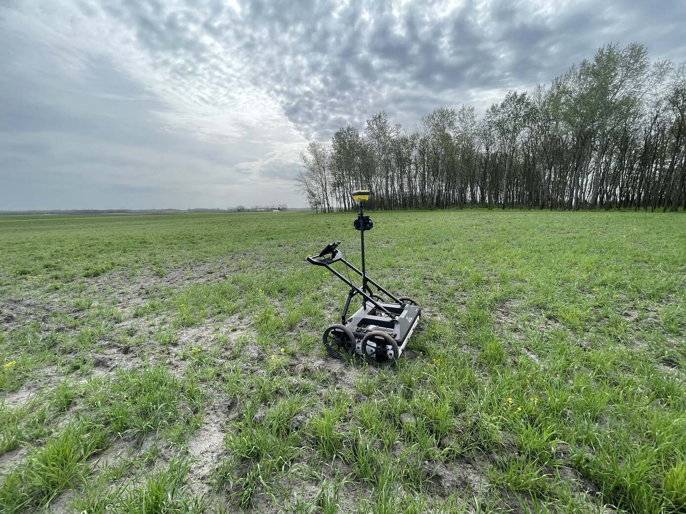
During a survey, the operator moves the GPR unit across the surface, and the continuously recorded signals create a 2D cross-section image called a radargram. By conducting surveys in a dense grid pattern, these 2D slices can be combined to create a detailed 3D model of the subsurface. The key to success lies not just in the measurement, but in the expert interpretation of the radargrams, which requires significant experience.
Why are more and more professionals choosing GPR technology over traditional exploratory methods?
The versatility of the technology is best demonstrated by its wide range of applications.
While metallic pipes can be found with electromagnetic locators, GPR is essential for locating plastic (PVC, HDPE), asbestos cement, and concrete utilities, as well as fiber optic cables. Its use helps prevent dangerous and costly utility strikes.
Using high-frequency antennas, GPR can “see” inside concrete. This provides invaluable information before drilling, coring, or cutting. It can accurately determine:
GPR allows for the rapid, non-destructive assessment of the structural condition of roads, highways, and airport runways. It can determine the thickness of asphalt and base layers and identify hidden defects like subsurface voids or moisture intrusion, which are often the root cause of potholes and cracks.
Subsurface voids pose a serious threat to infrastructure. GPR effectively detects voids of both natural (e.g., karst cavities, washouts) and man-made (buried cellars, tunnels, old wells) origin, helping to prevent unexpected collapses.
For archaeologists, GPR is a “digital spade.” It allows them to survey potential sites and identify hidden wall remnants, foundations, grave sites, and other features of archaeological significance before excavation begins, saving time and preventing damage to priceless artifacts.
A professional GPR service follows a well-established process:
Using GPR services is not an expense; it is a smart investment in risk mitigation. Whether you need to ensure a safe construction site, assess the condition of an existing structure, or uncover hidden history, GPR technology provides reliable and precise answers.
Learn more about our GPR services or request expert consultation for your next project, and make informed decisions with a clear view of what lies beneath the surface.