Non-Intrusive Utility detection

Non-destructive utility locating, also known as Subsurface Utility Engineering (SUE), is the safest and most effective method for determining the precise location of underground pipes, cables, and other infrastructure elements without the need for unnecessary excavation or demolition. Our company provides a comprehensive service based on modern technologies and years of experience, helping you avoid costly damage and delays during the design and construction phases.
Selecting the right technology is the foundation of a successful and accurate utility survey. We use two primary methods that complement each other to handle a wide variety of situations.
1. Electromagnetic (EM) Locating The primary tool for non-destructive utility locating is the electromagnetic locator. Its principle is to apply a specific signal to a metallic conductor (e.g., water/gas pipes, electrical/telecom cables) using a signal generator. This signal can be traced on the surface with a receiver, allowing us to determine the utility’s route and depth with centimeter-level accuracy.
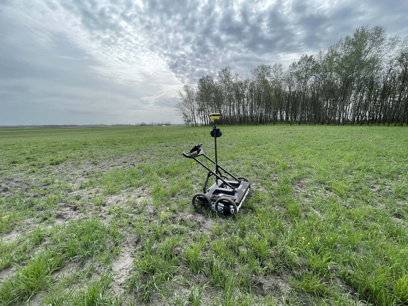
2. Ground Penetrating Radar (GPR) Surveying In cases where EM locating faces physical limitations—such as locating plastic pipes, concrete conduits, or fiber optic cables—GPR provides the solution. Our GPR systems, with their various frequencies, can map the soil structure and the objects within it. Proper GPR system selection is crucial, whether the task is utility mapping, soil stratigraphy analysis, archaeological investigation, or concrete inspection.
A reliable and usable digital utility map is the result of a multi-stage process that goes beyond just the on-site investigation.
1. Archival Research and Data Review The foundation of every utility survey is to obtain and interpret existing as-built drawings, old plans, and digital records. We analyze this data and validate it in the field, as the real-world conditions often differ from the documentation.
2. On-Site Non-Destructive Investigation Using the EM locators and GPR systems described above, we investigate the site to locate and designate all detectable subsurface utilities.
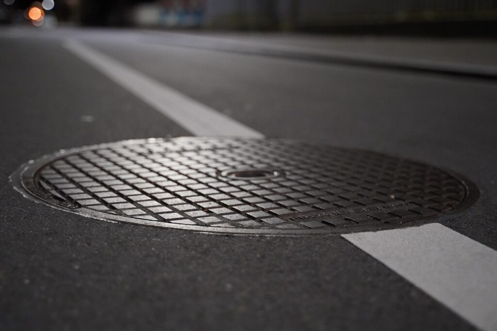
3. Manhole and Chamber Surveys While GPR and locators excel at mapping buried linear utilities, accessible chambers and manholes provide a wealth of direct information. When possible, we conduct detailed manhole surveys. This involves documenting the interior, including pipe inverts, diameters, materials, and direction, to gather crucial vector data for creating accurate 3D models of the utility network’s connectivity.
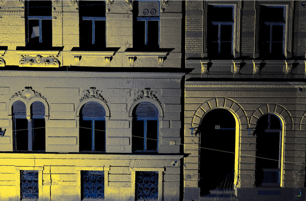
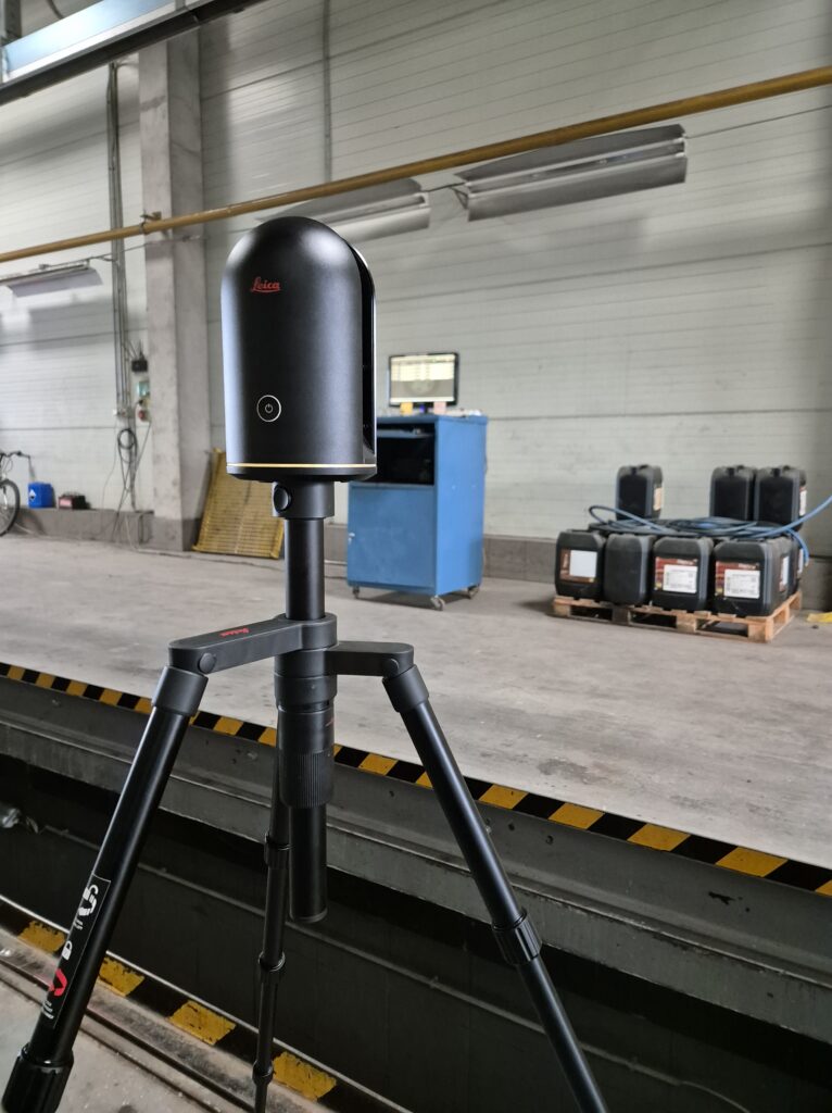
4. Precision Geodetic Survey The locations of utilities identified through non-destructive methods, along with all relevant surface features (e.g., manholes, valves), are captured with high-precision geodetic instruments and tied to a national or local coordinate system.
5. CAD and 3D Model Creation All the data collected in the field is processed using the latest CAD (Computer-Aided Design) software. The result is a precise 2D or 3D digital map (spatial model) that represents the utilities not only in their horizontal position but also with accurate elevation (Z) data. This three-dimensional model is indispensable for designers and contractors, especially in densely developed areas with complex utility networks.
We also provide expert consultation to help our clients choose the most effective solutions for their non-destructive utility locating needs and related geodetic and geospatial tasks.
Szolgáltatás
Szolgáltatás

Szolgáltatás
Szolgáltatás

Szolgáltatás

Szolgáltatás
Szolgáltatás

Szolgáltatás