Professional Data Processing: GPR, Laser Scanner, and Geodetic Data Analysis
Do you have modern field survey instruments but lack the time, in-house capacity, or specialized expertise to process the raw data? Our company offers professional and brand-agnostic data processing services, allowing you to focus on what you do best—field data acquisition and using the final results. Whether it’s data from a GPR, a laser scanner (LiDAR), or other geodetic instruments, our expert team guarantees fast, precise, and professional analysis.
GPR Data Processing (Radargram Interpretation)
The success of a GPR survey depends only 50% on the fieldwork; the other 50% hinges on expert data processing and the correct interpretation of radargrams.
- Our Services:
- GPR Data Processing: Filtering raw data, applying gains to enhance signals, and highlighting relevant anomalies (e.g., point targets or linear features).
- Identification of Utilities and Objects: Detecting and identifying underground pipes, cables, voids, foundations, and other anomalies on the processed sections.
- Creation of 2D/3D CAD Deliverables: Vectorizing the identified objects and placing them precisely in 2D or 3D CAD formats, complete with depth information.
- Brand-Agnostic Processing: We can process data from all major manufacturers, including GSSI, IDS, MALA, Sensors & Software, and more.
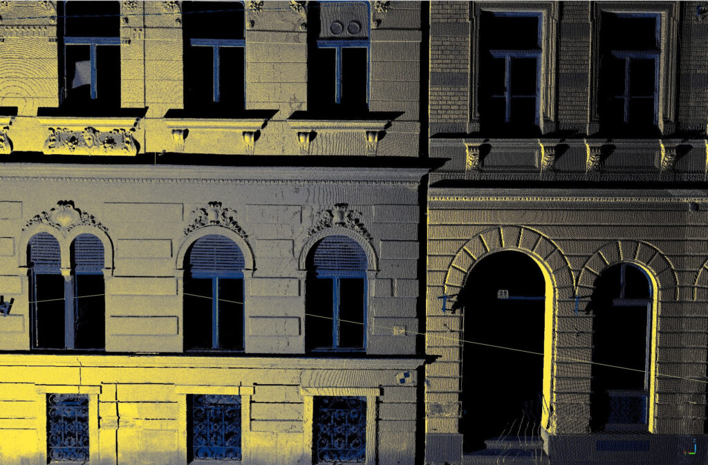
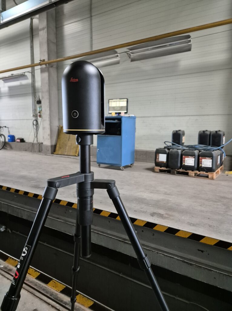
Laser Scanner Data Processing (Point Cloud Processing)
The massive point clouds, consisting of billions of points, generated during laser scanning are just raw data sets in their initial form. Through expert processing, they are transformed into valuable digital models, drawings, or analyses.
- Our Services:
- Point Cloud Registration and Cleaning: Merging point clouds from various scan setups and removing unwanted data (noise, moving objects).
- Classification and Segmentation: Automatic or manual classification of point cloud elements (e.g., ground, vegetation, buildings, power lines).
- Modeling and Vectorization: Creating 2D floor plans, sections, and elevations, as well as 3D BIM or mesh models from the point cloud.
- Quantity Calculations and Analysis: Calculating surfaces and volumes (e.g., for stockpiles, earthworks) and performing deformation analyses.
Why Outsource Your Data Processing?
- Save Time and Resources: Eliminate the need to purchase and maintain expensive software or to continuously train your staff.
- Guaranteed Quality: With decades of experience and specialized software knowledge, we ensure the highest level of accuracy and the best possible results.
- Speed and Flexibility: Our high processing capacity allows us to handle large volumes of data with short turnaround times, so your project never stalls.
Leave the complex data processing to us! Send us your raw data, and we will deliver ready-to-use digital products.